Professional Drone Surveying & Aerial Mapping Services
Offering exceptional Drone Surveying & Aerial Mapping solutions, our team is committed to providing top-quality services to meet all your needs in the Vegetation Management industry.
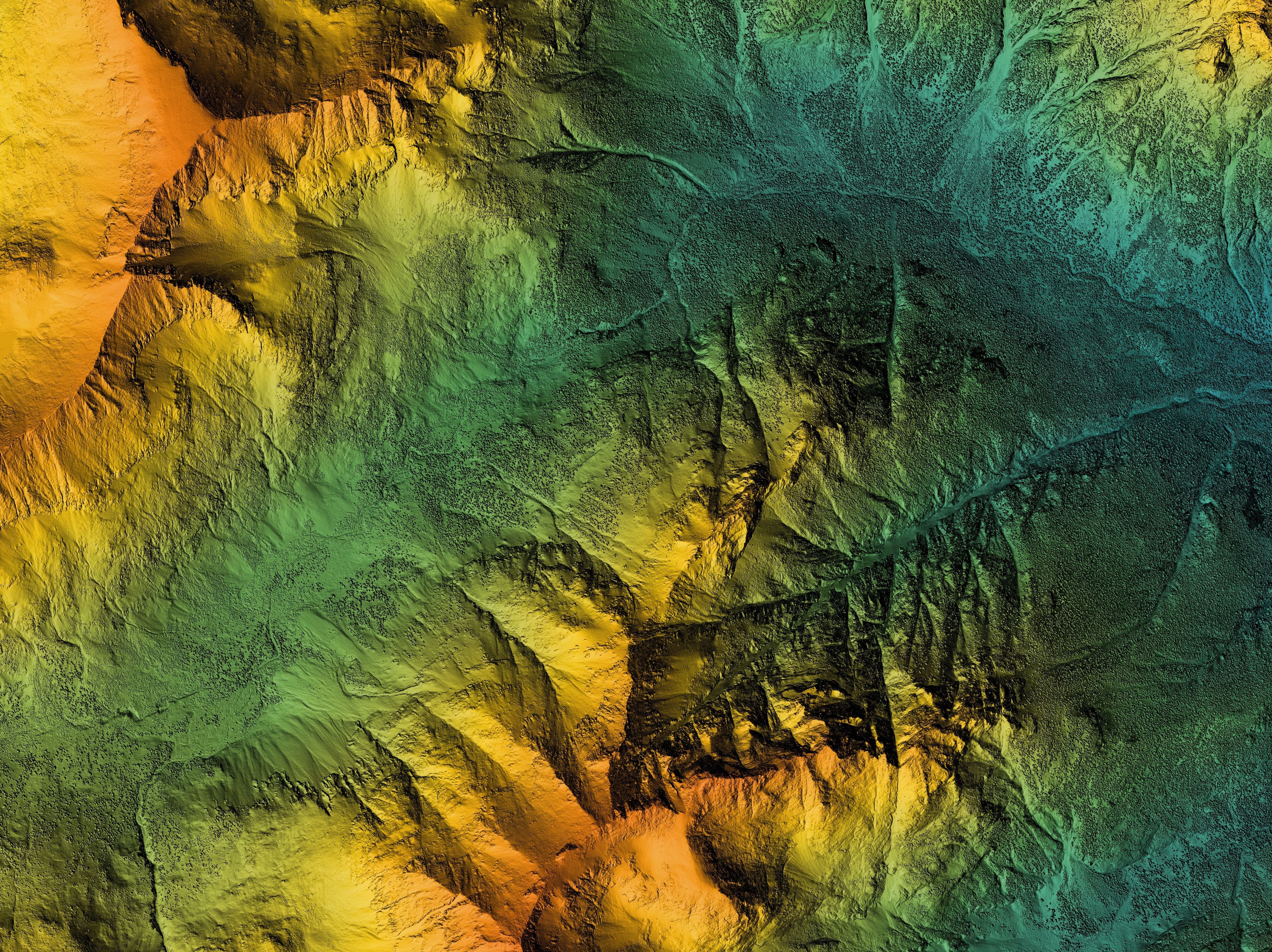
Drone Surveying & Aerial Mapping
Welcome to Prairieland Contracting’s Drone Surveying & Aerial Mapping service. As leaders in vegetation management and land development, we understand the importance of precise data and accurate landscapes. Our drone surveying service provides a top-class solution for attaining detailed aerial perspectives of your property or project site.
Utilizing cutting-edge drone technology, we capture high-resolution images and data that contribute to comprehensive land mapping. This service benefits a range of projects, from agricultural optimization and construction oversight to environmental assessments and property development planning.
High Precision: Our drones gather detailed, geo-referenced maps that support decision-making and project planning. This ensures resources are effectively managed and development is precisely targeted.
Efficiency and Safety: We cover large areas quickly and safely, reducing the need for on-ground surveying teams. This method is not only faster but also cost-effective, especially for vast properties and hard-to-reach terrains.
Expert Analysis: Every survey is reviewed by our trained professionals, who bring years of experience in land management and surveying. Standing by OSHA safety best practices and current environmental guidelines, our recommendations are tailored to serve both functional and ecological interests.
Born out of our local roots in Greenleaf, Kansas, Prairieland Contracting has extended our services nationwide across the United States. We've become a trusted name known for respecting the land and respecting our nation's diverse habitats.
When you choose our Drone Surveying & Aerial Mapping service, you align with a dedication to environmental stewardship combined with technological advancement. Every project, whether small or large, is met with the same level of commitment and precision.
Ready to see your land from a new perspective? Contact us at (785) 209-5727. We’ll guide you through every step, ensuring your project reaches new heights of efficiency and accuracy.
Our Unique Drone Surveying & Aerial Mapping Process
Precision and reliability from consultation to completion.
Initial Consultation & Site Assessment
We'll meet with you to discuss your project goals and assess your site conditions. Our expertise helps tailor accurate aerial mapping solutions to suit your precise needs.
Customized Flight Plan Development
Using the latest technology, we craft a detailed flight plan. This plan optimizes altitude, coverage, and timing to ensure maximum mapping accuracy and efficiency.
Execution & Data Capture
Our licensed drone operators conduct the flights, capturing comprehensive aerial data. Safety and efficiency are our top priorities during this operation.
Data Analysis & Delivery
We process the high-resolution data and analyze it to create insightful mapping reports. This final step includes delivering the results to you and addressing any questions.
Frequently Asked Questions
Here are some answers to common questions we receive about our Drone Surveying & Aerial Mapping service:
Unlock precise aerial insights with our Drone Surveying. Call (785) 209-5727 to schedule now!